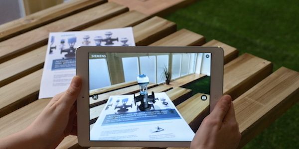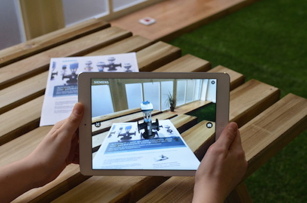
Augmented reality (AR) is a live direct or indirect view of a physical, real-world environment whose elements are augmented (or supplemented) by computer-generated sensory input such as sound, video, graphics or GPS data. It is related to a more general concept called mediated reality, in which a view of reality is modified (possibly even diminished rather than augmented) by a computer. As a result, the technology functions by enhancing one’s current perception of reality.
Modern mobile augmented reality systems use one or more of the following tracking technologies: digital cameras and/or other optical sensors, accelerometers, GPS, gyroscopes, solid state compasses, RFID and wireless sensors. These technologies offer varying levels of accuracy and precision. Most important is the position and orientation of the user s head. Tracking the user s hand(s) or a handheld input device can provide a 6DOF interaction technique.
AR can aid in visualizing building projects. Computer-generated images of a structure can be superimposed into a real-life local view of a property before the physical building is constructed there; this was demonstrated publicly by Trimble Navigation in 2004. AR can also be employed within an architect s workspace, rendering into their view animated 3D visualizations of their 2D drawings. Architecture sight-seeing can be enhanced with AR applications allowing users viewing a building s exterior to virtually see through its walls, viewing its interior objects and layout.
R can help industrial designers experience a product s design and operation before completion. Volkswagen uses AR for comparing calculated and actual crash test imagery. AR can be used to visualize and modify a car body structure and engine layout. AR can also be used to compare digital mock-ups with physical mock-ups for finding discrepancies between them.
AR can augment the effectiveness of navigation devices. Information can be displayed on an automobile s windshield indicating destination directions and meter, weather, terrain, road conditions and traffic information as well as alerts to potential hazards in their path. Aboard maritime vessels, AR can allow bridge watch-standers to continuously monitor important information such as a ship sheading and speed while moving throughout the bridge or performing other tasks.
The NASA X-38 was flown using a Hybrid Synthetic Vision system that overlaid map data on video to provide enhanced navigation for the spacecraft during flight tests from 1998 to 2002. It used the LandForm software and was useful for times of limited visibility, including an instance when the video camera window frosted over leaving astronauts to rely on the map overlays. The LandForm software was also test flown at the Army Yuma Proving Ground in 1999. In the photo at right one can see the map markers indicating runways, air traffic control tower, taxiways, and hangars overlaid on the video.

